Central Scottsdale
Established neighborhoods near Shea Boulevard and the 101, central to almost everywhere in the Valley.
Established neighborhoods near Shea Boulevard and the 101, central to almost everywhere in the Valley.
Figures for October 2026 (the latest full month), from RentCast listings in ZIP 85260, one of Central Scottsdale’s two ZIP codes.ZIP-wide median list price (single-family listings): RentCast, ZIP 85260 (one of Central Scottsdale’s two ZIP codes), October 2026.ZIP-wide median days on market (single-family listings): RentCast, ZIP 85260 (one of Central Scottsdale’s two ZIP codes), October 2026.Updated
Market figures: RentCast, from single-family listings (list prices, not closed sales) in each area’s main ZIP code. “To date” means the month so far. Silverleaf shares ZIP 85255 with North Scottsdale, so it shows no ZIP market figures of its own. Any figures shown are past results, not a forecast. Descriptions cover places and housing, not who lives there.
Drive times are by car without traffic, so off-peak; rush hour takes longer. They were measured on November 12, 2026 from the middle of Central Scottsdale’s outline on this site’s map to each place’s nearest way in, using OSRM on OpenStreetMap roads.How the drive times were measured: Sky Harbor: Phoenix Sky Harbor International Airport, Terminal 4’s nearest edge; Old Town: Old Town Scottsdale: the nearer of Scottsdale Fashion Square, where Old Town starts, and the Scottsdale Civic Center at its middle; Scottsdale Airport: Scottsdale Airport (SDL), the City’s terminal building; Loop 101: the nearest Loop 101 interchange; OpenStreetMap: the roads and places routed on (© OpenStreetMap contributors); Project OSRM: the open routing engine used
Aaron’s sales
Aaron has closed 9 sales in Central Scottsdale since August 2014.
McDowell Sonoran Preserve · three trailheads in 85259 · Horizon Park · TPC Scottsdale
A Preserve trailhead about 9 minutes’ drive, with parking, restrooms, shade ramadas, water and an accessible nature trail. The Preserve is free to use.Source: City of Scottsdale, McDowell Sonoran Preserve (trails, trailheads, rules); OpenStreetMap: road distance and drive time by car from the middle of the area’s outline on this site’s map, routed with OSRM, without traffic, measured 2026-11-09; Project OSRM: the open routing engine used
A Preserve trailhead about 13 minutes’ drive, with parking, water and a shade ramada at its overflow lot. The City lists no restrooms there.Source: City of Scottsdale, McDowell Sonoran Preserve (trails, trailheads, rules); OpenStreetMap: road distance and drive time by car from the middle of the area’s outline on this site’s map, routed with OSRM, without traffic, measured 2026-11-09; Project OSRM: the open routing engine used
A way into the Preserve at the City’s WestWorld, about 8 minutes’ drive, with restrooms, a shade ramada, horse-trailer parking and public arenas.Source: City of Scottsdale, McDowell Sonoran Preserve (trails, trailheads, rules); OpenStreetMap: road distance and drive time by car from the middle of the area’s outline on this site’s map, routed with OSRM, without traffic, measured 2026-11-09; Project OSRM: the open routing engine used
A City park about 6 minutes’ drive, with a community center and ten free pickleball courts for drop-in play. “Mornings are typically the busiest time,” the City says.Source: City of Scottsdale, Horizon Park; OpenStreetMap: road distance and drive time by car from the middle of the area’s outline on this site’s map, routed with OSRM, without traffic, measured 2026-11-09; Project OSRM: the open routing engine used
Two courses, the Stadium Course, home of the WM Phoenix Open, and the Champions Course, about 11 minutes’ drive. Tee times are booked on its website.Source: TPC Scottsdale: home; OpenStreetMap: road distance and drive time by car from the middle of the area’s outline on this site’s map, routed with OSRM, without traffic, measured 2026-11-09; Project OSRM: the open routing engine used
Drive times and distances are by road from the middle of the area’s outline on this site’s map, without traffic (OSRM on OpenStreetMap, measured November 9, 2026).
The search shows the homes inside Central Scottsdale as the site’s map draws it, ZIP codes 85260 and 85259 along Shea Boulevard and the 101. HOAs vary by neighborhood, so use the No HOA filter or a monthly fee limit if that matters to you.
Search homes for sale from every brokerage that shares its listings through ARMLS, refreshed several times a day. Save the ones you like, with no account, and ask Aaron about any of them: he can show you any of these homes and represent you as your buyer’s agent.
Search homes for sale in Central ScottsdaleMcCormick Ranch vs. Central Scottsdale


Sold by Aaron · Central Scottsdale
See the photosBoundaries are approximate. The list and links on this page carry the same information.
Central Scottsdale reaches east to the south end of the City of Scottsdale’s McDowell Sonoran Preserve: three of its trailheads are in 85259, and WestWorld, in 85260, is another way in. Horizon Park and Cactus Park are City parks in the area, and the Central Arizona Project canal crosses it.Source: City of Scottsdale, McDowell Sonoran Preserve (hours, rules, trailheads and trail maps); City of Scottsdale, Horizon Park; City of Scottsdale, Cactus Park; Central Arizona Project, CAP Trail
From the middle of the area, the Lost Dog Wash Trailhead, at 12601 N. 124th St., is about 9 minutes’ drive, with parking, restrooms, shade ramadas, water, horse-trailer parking and an accessible nature trail. Sunrise, at 12101 N. 145th Way, is about 13 minutes, with water and a shade ramada at its overflow lot and no restrooms listed. Ringtail, on N. 128th St., has parking but no drinking water.
WestWorld, at 15939 N. 98th St., is about 8 minutes’ drive, with restrooms, a shade ramada and horse-trailer parking. The WestWorld trail leads into the Preserve’s Quartz and Taliesin trails.
The Preserve is free, and its trailheads open and close at set times through the year. Dogs must be on a handheld leash of six feet or less, and the City says that if it will be over 90 degrees during a hike, it’s too hot for a dog. E-bikes, scooters and other motorized devices aren’t allowed on its trails, apart from motorized wheelchairs and mobility exceptions the City approves.Source: City of Scottsdale, McDowell Sonoran Preserve (hours, rules, trailheads and trail maps); City of Scottsdale, McDowell Sonoran Preserve south area trail map (PDF); OpenStreetMap: road distance and drive time by car from the middle of the area’s outline on this site’s map, routed with OSRM, without traffic, measured 2026-11-09; Project OSRM: the open routing engine used
Horizon Park, at 15444 N. 100th St., is about 6 minutes’ drive, with a community center and ten free pickleball courts for drop-in play; the City says mornings are usually the busiest. Cactus Park is at 7202 E. Cactus Road. The City’s pages have each park’s hours and how to reserve a ramada or field.Source: City of Scottsdale, Horizon Park; City of Scottsdale, Cactus Park; OpenStreetMap: road distance and drive time by car from the middle of the area’s outline on this site’s map, routed with OSRM, without traffic, measured 2026-11-09; Project OSRM: the open routing engine used
Show on the map
The Central Arizona Project canal crosses the area inside a security fence. CAP’s recreation trail, for walking, jogging, horses and bikes, runs outside the fence only where a city or county has sponsored it, and the nearest segment ends where the canal crosses Scottsdale Road, just west of the area.Source: Central Arizona Project, CAP Trail; OpenStreetMap: the Central Arizona Project Canal where it crosses Scottsdale Road, and Central Scottsdale’s outline on this site’s map (content/area-geo.json), measured 2026-11-08
Show on the map
Two courses, the Stadium Course and the Champions Course.Source: TPC Scottsdale: home
The Roadrunner, 18 holes and par 70, and the Snake, a 12-hole short course. Formerly Starfire Golf Club.Source: Scottsdale Country Club: home; Scottsdale Country Club: The Roadrunner Course
A 7,118-yard, par 72 course.Source: Arcis Golf: McDowell Mountain Golf Club
McDowell Mountain Golf Club straddles this area’s north edge; most of it is in North Scottsdale.
Every golf club in Scottsdale and Paradise Valley, compared
The Lost Dog Wash Trail is 2.6 miles, with an elevation change of 380 feet; the City rates it Moderate.Source: City of Scottsdale: McDowell Sonoran Preserve, trailheads; City of Scottsdale: McDowell Sonoran Preserve, South Area Trail Map (Spring 2026)
The Ringtail Trail is 2.2 miles, with an elevation change of 307 feet; the City rates it Easy.Source: City of Scottsdale: McDowell Sonoran Preserve, trailheads; City of Scottsdale: McDowell Sonoran Preserve, South Area Trail Map (Spring 2026)
The Sunrise Trail is 4.4 miles, with an elevation change of 1,095 feet; the City rates it Difficult.Source: City of Scottsdale: McDowell Sonoran Preserve, trailheads; City of Scottsdale: McDowell Sonoran Preserve, South Area Trail Map (Spring 2026)
The Taliesin Trail, reached from here, is 2.4 miles, with an elevation change of 431 feet; the City rates it Easy.Source: City of Scottsdale: McDowell Sonoran Preserve, trailheads; City of Scottsdale: McDowell Sonoran Preserve, South Area Trail Map (Spring 2026)
The figures are for each whole trail, from the City’s spring 2026 trail guide, not round trips from the trailhead. City of Scottsdale: South Area Trail Map (PDF)
The City posts heat warnings for hikers and dog owners on its Preserve page; check it before a warm-weather hike. City of Scottsdale: McDowell Sonoran Preserve
Shopping center at Loop 101 and Frank Lloyd Wright Boulevard.Source: YAM Properties: Sonora Village
Neighborhood center at Shea Boulevard and Pima Road, anchored by the PGA TOUR Superstore.Source: YAM Properties: Pima Crossing
Grocery-anchored neighborhood center at 10111 E. Bell Road.Source: YAM Properties: McDowell Mountain Marketplace
Grocery-anchored neighborhood center at Frank Lloyd Wright Boulevard and Via Linda.Source: Vestar: Ancala Village
Scottsdale Promenadeabout 5 miles
Shopping and dining center
Scottsdale Quarterabout 6 miles
Shopping, dining and entertainment district
Kierland Commonsabout 6 miles
Open-air shopping and dining center
The Shops at Gainey Villageabout 7 miles
Shops, dining and services
Distances are by road, from the middle of the area’s outline on this site’s map.Source: OpenStreetMap: road distances by car from the middle of the area’s outline on this site’s map, routed with OSRM and measured 2026-11-08; Project OSRM: the open routing engine used
School districts covering Central Scottsdale as this page’s map draws it: Scottsdale Unified and Paradise Valley Unified.
Which school a home is assigned to depends on the address. Confirm it with Scottsdale Unified’s school finder and Paradise Valley Unified’s school finder.
The Arizona Department of Education publishes a report card for every public school: azreportcards.azed.gov.
District boundaries from the U.S. Department of Education’s public data (2024–25). Aaron doesn’t rate or recommend schools.Source: National Center for Education Statistics, EDGE School District Boundaries (TIGER/Line 2025, school year 2024-25)
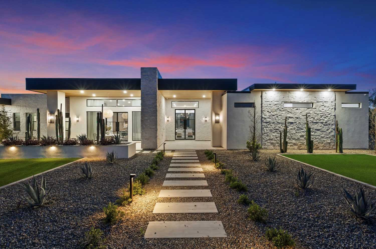
Aaron points buyers here to Old Town, Scottsdale’s downtown, a short drive south of the area. It has restaurants, bars and clubs, Scottsdale Fashion Square, and the Civic Center, where many of the City’s festivals and events happen. The Old Town Scottsdale Farmers Market runs on Saturdays from October through June, and from the season that started in October 2026, the City moved it to the City Hall lot at 75th Street and Bennie Gonzales Way.
On this site, Central Scottsdale means ZIP codes 85260 and 85259, along Shea Boulevard and the 101. A ZIP code is a postal area, so this isn’t an official neighborhood boundary.
Mostly built from the 1970s through the 2000s, and many have been remodeled. Ask for permits and invoices for remodeling work, as Arizona’s Buyer Advisory suggests.Source: Arizona Department of Real Estate and Arizona REALTORS®, Buyer Advisory (January 2025)
It varies by neighborhood, so check the specific address. Lots are typically suburban, with some larger ones.
Mostly by car, since walkability is low to moderate. The area is close to the 101 and Shea Boulevard.
On the area’s east side: three of the City of Scottsdale’s Preserve trailheads are in 85259. Lost Dog Wash, at 12601 North 124th Street, has parking, restrooms, shade ramadas and water; Ringtail, in the 12300 block of North 128th Street, has parking but no drinking water; and Sunrise, at 12101 North 145th Way, has parking and water. The City says the Preserve is free to use, and its trailheads open and close at set times through the year.Source: City of Scottsdale, McDowell Sonoran Preserve (hours, rules, trailheads and trail maps); City of Scottsdale, McDowell Sonoran Preserve south area trail map (PDF)
In Aaron’s view, it’s very important to look at the underground plumbing and for lead-based paint. He also looks at the ceiling height and the floor plan.
General information, not legal, tax or financial advice. Your own contract controls, and your attorney, tax professional or other advisers can confirm what applies to you.
Rules and figures can change.
See Central Scottsdale beside any of the other ten areas: lots, homes, HOAs, setting and walkability.
Ask him about the streets, the homes and the tradeoffs, in person, by phone or on video.
Still deciding whether to move? That’s a good time to talk.
Call 602-785-5095Text 602-785-5095