Arcadia
An established neighborhood, mostly in Phoenix, of irrigated lots and mature citrus at the foot of Camelback Mountain.
An established neighborhood, mostly in Phoenix, of irrigated lots and mature citrus at the foot of Camelback Mountain.
Figures for October 2026 (the latest full month), from RentCast listings in ZIP 85018, which covers most of Arcadia and extends well beyond it.ZIP-wide median list price (single-family listings): RentCast, ZIP 85018 (which covers most of Arcadia and extends well beyond it), October 2026.ZIP-wide median days on market (single-family listings): RentCast, ZIP 85018 (which covers most of Arcadia and extends well beyond it), October 2026.Updated
Market figures: RentCast, from single-family listings (list prices, not closed sales) in each area’s main ZIP code. “To date” means the month so far. Silverleaf shares ZIP 85255 with North Scottsdale, so it shows no ZIP market figures of its own. Any figures shown are past results, not a forecast. Descriptions cover places and housing, not who lives there.
Drive times are by car without traffic, so off-peak; rush hour takes longer. They were measured on November 12, 2026 from the middle of Arcadia’s outline on this site’s map to each place’s nearest way in, using OSRM on OpenStreetMap roads.How the drive times were measured: Sky Harbor: Phoenix Sky Harbor International Airport, Terminal 4’s nearest edge; Old Town: Old Town Scottsdale: the nearer of Scottsdale Fashion Square, where Old Town starts, and the Scottsdale Civic Center at its middle; Scottsdale Airport: Scottsdale Airport (SDL), the City’s terminal building; Loop 101: the nearest Loop 101 interchange; OpenStreetMap: the roads and places routed on (© OpenStreetMap contributors); Project OSRM: the open routing engine used
Aaron’s sales
Aaron has closed 3 sales in Arcadia since August 2014.
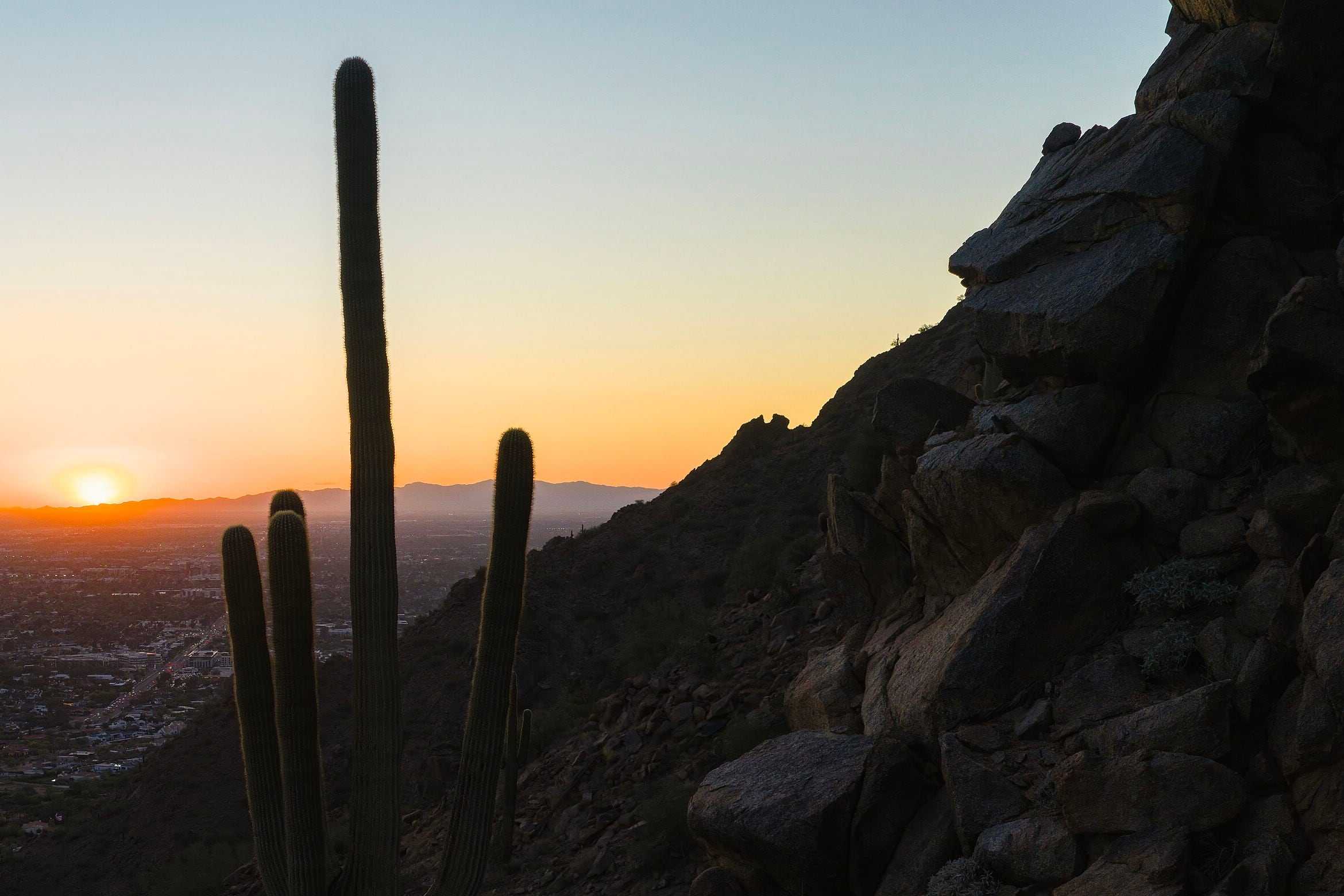
Arizona Canal trail · Arizona Falls · Camelback Mountain · two trailheads at its northern edge
A City of Phoenix park at Arcadia’s northern edge, with two steep trails to the summit. Dogs aren’t allowed, and the trails close for part of the day in extreme heat.Source: City of Phoenix, Camelback Mountain; City of Phoenix: Echo Canyon Trailhead; City of Phoenix, Heat safety (limited hiking during extreme heat)
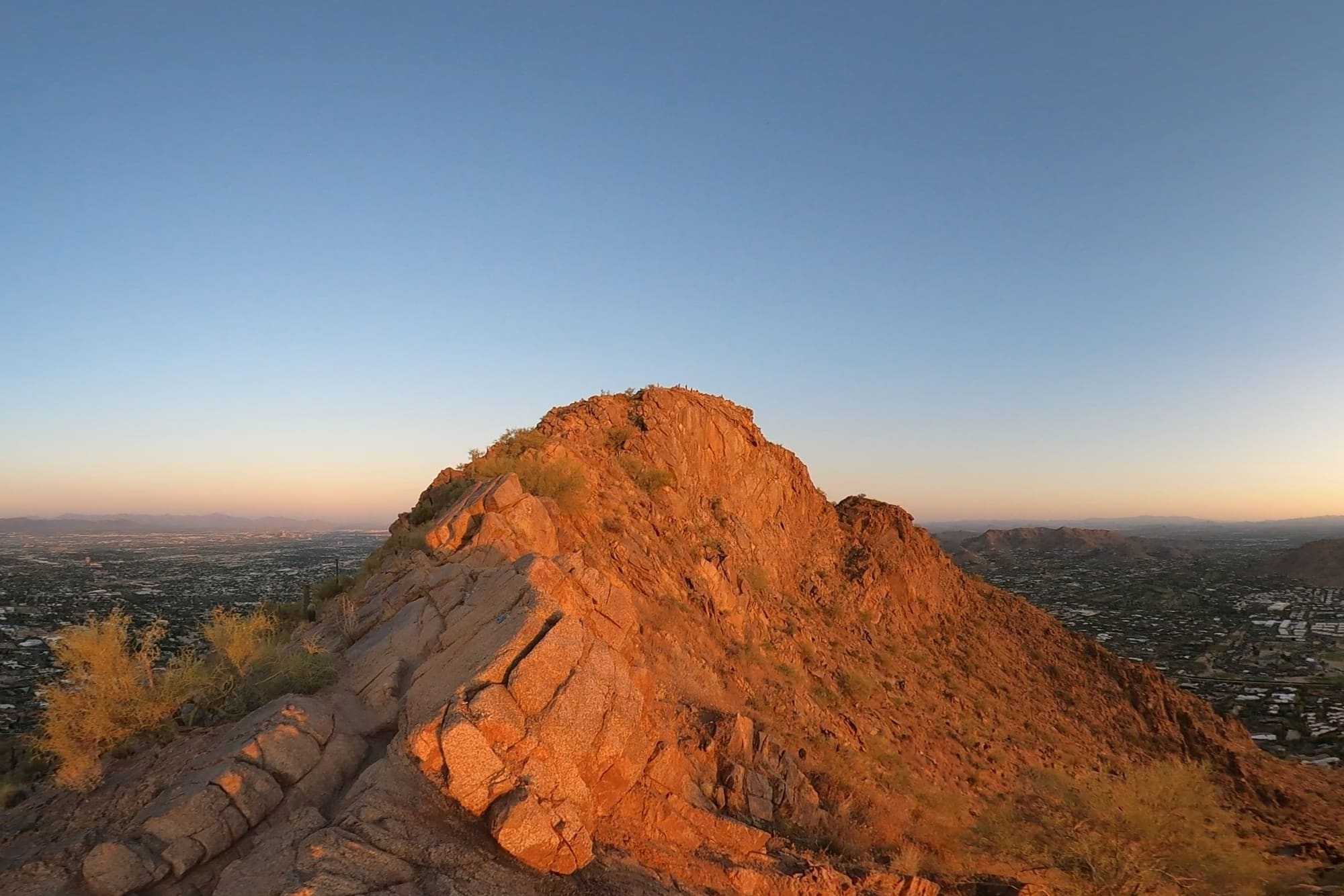
Sunrise from the Cholla Trail on Camelback Mountain, June 2023. Photo: Hoplophile, CC BY-SA 4.0, via Wikimedia Commons, cropped.SRP’s waterfall and working hydroelectric plant on the Arizona Canal, about 4 minutes’ drive. A footbridge leads to a viewing platform with shaded boulder seating.Source: SRP, Arizona Falls; OpenStreetMap: road distance and drive time by car from the middle of the area’s outline on this site’s map, routed with OSRM, without traffic, measured 2026-11-09; Project OSRM: the open routing engine used
SRP’s canal-bank trail through the south of Arcadia, past Arizona Falls. It’s free to use on foot or by pedal bike; e-bikes, scooters and swimming aren’t allowed.Source: SRP, Canal trails; SRP, Canal safety; OpenStreetMap: the Arizona Canal and the Arizona Canal Path, measured 2026-11-08
A 1.14-mile summit climb the City rates “Extremely Difficult,” about 8 minutes’ drive. In winter and spring, the City says, its lot is often full by late morning.Source: City of Phoenix: Echo Canyon Trailhead; OpenStreetMap: road distance and drive time by car from the middle of the area’s outline on this site’s map, routed with OSRM, without traffic, measured 2026-11-09; Project OSRM: the open routing engine used
A 1.5-mile summit climb the City rates “Extremely Difficult,” about 5 minutes’ drive. There’s no lot: parking is parallel, in marked sections of Invergordon Road.Source: City of Phoenix: Cholla Trailhead; OpenStreetMap: road distance and drive time by car from the middle of the area’s outline on this site’s map, routed with OSRM, without traffic, measured 2026-11-09; Project OSRM: the open routing engine used
The Phoenician resort’s 18-hole, par-71 course, about 4 minutes’ drive. Its website books public tee times as well as members’.Source: The Phoenician Golf Club: home page; OpenStreetMap: road distance and drive time by car from the middle of the area’s outline on this site’s map, routed with OSRM, without traffic, measured 2026-11-09; Project OSRM: the open routing engine used
Drive times and distances are by road from the middle of the area’s outline on this site’s map, without traffic (OSRM on OpenStreetMap, measured November 9, 2026).
The search shows the homes inside Arcadia as the site’s map draws it, an approximate outline mostly in Phoenix; ZIP 85018 covers most of Arcadia and extends well beyond it. Lots are larger and irrigated, and many homes are mid-century ranches or rebuilds, so the lot size and year built filters help.
Search homes for sale from every brokerage that shares its listings through ARMLS, refreshed several times a day. Save the ones you like, with no account, and ask Aaron about any of them: he can show you any of these homes and represent you as your buyer’s agent.
Boundaries are approximate. The list and links on this page carry the same information.
Arcadia lies between the Arizona Canal and Camelback Mountain. SRP’s Arizona Canal trail runs through the south of the neighborhood, past Arizona Falls, and Camelback’s two trailheads, Echo Canyon and Cholla, are at its northern edge. Scottsdale Fashion Square is about 2 miles by road.Source: SRP, Canal trails; SRP, Arizona Falls; City of Phoenix, Camelback Mountain; OpenStreetMap: the Arizona Canal, the Arizona Canal Path and Camelback Mountain’s trails, measured 2026-11-08; OpenStreetMap: road distances by car from the middle of the area’s outline on this site’s map, routed with OSRM and measured 2026-11-08; Project OSRM: the open routing engine used
The trail follows the Arizona Canal’s bank through the south of Arcadia, near Indian School Road, and it’s part of over 80 miles of canal trails SRP and city partners have built. It’s free to walk, run or ride a pedal bike. E-bikes, scooters and other motor vehicles aren’t allowed, and neither is swimming, and SRP closes sections now and then for maintenance.Source: OpenStreetMap: the Arizona Canal, the Arizona Canal Path and Camelback Mountain’s trails, measured 2026-11-08; SRP, Canal trails; SRP, Canal safety
Show on the map
SRP’s Arizona Falls, about 4 minutes’ drive, is a waterfall and working hydroelectric plant on the canal between 56th and 58th Streets, beside the City’s G.R. Herberger Park. A footbridge leads to a viewing platform with shaded boulder seating, and the site is also a public artwork, the Phoenix Art Commission’s “WaterWorks at Arizona Falls.”Source: SRP, Arizona Falls; OpenStreetMap: road distance and drive time by car from the middle of the area’s outline on this site’s map, routed with OSRM, without traffic, measured 2026-11-09; Project OSRM: the open routing engine used
Show on the map
The Cholla Trailhead is about 5 minutes’ drive and Echo Canyon about 8. Cholla has no lot: parking is parallel, in marked sections of Invergordon Road. Echo Canyon has a lot, restrooms, drinking water and a small shade canopy, and in winter and spring, the City says, the lot is often full by late morning.
The City rates both summit trails “Extremely Difficult.” Dogs aren’t allowed on Camelback’s trails, and on days with an Extreme Heat Warning the City closes both trails for part of the day, so check its heat page before you go.Source: City of Phoenix, Camelback Mountain; City of Phoenix, Cholla Trailhead (parking); City of Phoenix, Heat safety (limited hiking during extreme heat); City of Phoenix: Echo Canyon Trailhead; OpenStreetMap: road distance and drive time by car from the middle of the area’s outline on this site’s map, routed with OSRM, without traffic, measured 2026-11-09; Project OSRM: the open routing engine used
Show on the map
18 holes, par 71.Source: The Phoenician Golf Club: home page
1.14 miles with 1,400 feet of elevation change; the City rates it “Extremely Difficult.”Source: City of Phoenix: Echo Canyon Trailhead
1.5 miles with 1,420 feet of elevation change; the City rates it “Extremely Difficult.”Source: City of Phoenix: Cholla Trailhead
Dogs aren’t allowed on any Camelback Mountain trail, at any time of year. City of Phoenix: Echo Canyon Trailhead
Echo Canyon and Cholla close for part of the day during Extreme Heat Warnings. City of Phoenix: trail restrictions in extreme heat
Scottsdale Fashion Squareabout 2 miles
Regional mall
Old Town Scottsdaleabout 3 miles
Downtown district of shops and restaurants
Biltmore Fashion Parkabout 4 miles
Outdoor shopping center
Mill Avenue (Downtown Tempe)about 7 miles
Downtown district of shops and restaurants
Distances are by road, from the middle of the area’s outline on this site’s map.Source: OpenStreetMap: road distances by car from the middle of the area’s outline on this site’s map, routed with OSRM and measured 2026-11-08; Project OSRM: the open routing engine used
School districts covering Arcadia as this page’s map draws it: Scottsdale Unified.
Which school a home is assigned to depends on the address. Confirm it with Scottsdale Unified’s school finder.
The Arizona Department of Education publishes a report card for every public school: azreportcards.azed.gov.
District boundaries from the U.S. Department of Education’s public data (2024–25). Aaron doesn’t rate or recommend schools.Source: National Center for Education Statistics, EDGE School District Boundaries (TIGER/Line 2025, school year 2024-25)
In Aaron’s experience, Arcadia’s homes are generally high-end, many with mountain views, and downtown Phoenix is close by.
No, Arcadia is a neighborhood name, not a city, and it doesn’t sit inside one city’s limits. This site’s outline follows Aaron’s view and isn’t an official line: about 44th Street to 68th Street and Scottsdale Road, from Indian School Road or the Arizona Canal up to Camelback Road and the slopes of Camelback Mountain, plus Arcadia Osborn south to Thomas Road. Most of it is in the City of Phoenix and ZIP code 85018, but the County’s city limits map puts its eastern part in the City of Scottsdale, some addresses on the Phoenix side read Scottsdale, ZIP code 85251, and its northern edge reaches ZIP code 85253. So check the parcel: the Maricopa County Assessor’s parcel page names its Local Jurisdiction.Source: City of Phoenix Planning Department, Camelback East Village profile; City of Phoenix Neighborhood Services, registered neighborhood organizations (Arcadia Camelback Mountain, Arcadia Osborn); Maricopa County GIS, ZIP Code layer; Maricopa County GIS, City layer (city and town limits); Maricopa County Assessor, parcel search (Local Jurisdiction)
It depends on the lot, so ask whether the home has an active SRP irrigation account. Where a neighborhood takes SRP flood irrigation, deliveries come about every 14 days in summer and 28 in winter. The ditches and valves past SRP’s gate belong to the owners, not SRP.Source: SRP, Residential Irrigation Owner’s Manual
Mid-century ranch homes and new rebuilds, on larger irrigated lots with mature citrus.
Rarely, but check the specific address. The title commitment lists what’s recorded against a property, including any restrictions.Source: Arizona Department of Real Estate and Arizona REALTORS®, Buyer Advisory (January 2025)
Low to moderate, with dining nearby. For walking and biking, SRP’s canal trail follows the Arizona Canal through the south of the neighborhood, past Arizona Falls; it’s open to walkers and pedal bicycles but not to motorized vehicles, electric bikes included. The City of Phoenix’s Echo Canyon and Cholla trailheads, on Camelback Mountain, are at Arcadia’s northern edge.Source: OpenStreetMap: the Arizona Canal, the Arizona Canal Path and Camelback Mountain’s trails, measured 2026-11-08; SRP, Canal trails; SRP, Canal safety; City of Phoenix, Camelback Mountain
Aaron checks the lot size and the buildable square footage to see what the lot can support. Before going under contract, he connects his clients with builders who can give estimates.
General information, not legal, tax or financial advice. Your own contract controls, and your attorney, tax professional or other advisers can confirm what applies to you.
Rules and figures can change.
See Arcadia beside any of the other ten areas: lots, homes, HOAs, setting and walkability.
Ask him about the streets, the homes and the tradeoffs, in person, by phone or on video.
Still deciding whether to move? That’s a good time to talk.
Call 602-785-5095Text 602-785-5095